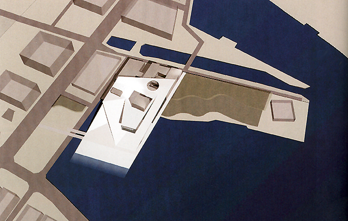
Valencia. Spain’s third-largest city has long waned in the shadows of neighboring metropolitan areas - Madrid (political capital) and Barcelona (economic capital). However, laying on the fertile banks of the Turia River on the east coast of the Iberian Peninsula, the city has always been a centralized and sought-after resource with strong maritime connections to the rest of Europe. Like most Spanish cities in the region, Valencia has had a lengthy and transformative past starting as a prosperous Roman colony two millennia ago, leading to Moorish rule in the 8th to 13 centuries, the center of the Christian kingdom of Valencia during the middle ages, the capital of the Republic during the Spanish civil war, and currently the capital of the autonomous community of Valencia. Recently, the city’s maritime culture has grown globally with one of the busiest container ports in Europe and the largest on the Mediterranean Sea, filling the Gulf of Valencia with numerous cargo ships along the eastern edge of the city. But, despite having vast access to the Spanish coastline, the spirit and historic urban core of the city is not necessarily integrated thoroughly with its beaches - like its Catalonian neighbor to the north - with significant urban development of historic Moorish/Gothic/Baroque-accented city districts focused further down the mouth of the Turia River.
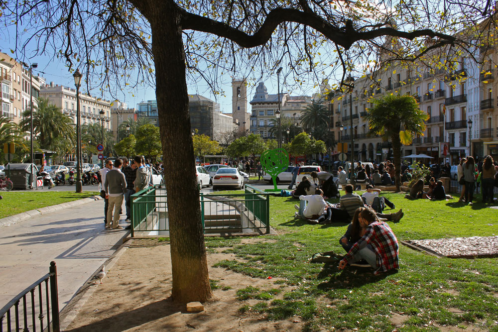
Plaza de la Reina

Valencia Cathedral
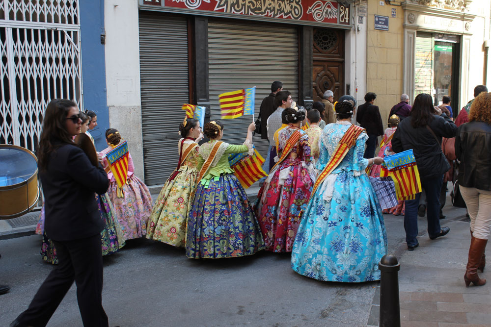
Street parade in downtown Valencia
Toward the end of the last millennium, the city that was widely overlooked by its larger urban siblings for so long was ready to mature. Perceived economic neglect by the central government (Valencia had the lowest investments in Spain) the city took charge - with increasing worldwide capital gains, cheap available credit and pride in turning a once little-considered place to becoming a cutting edge city - the Valencian government began to invest heavily on large-scale development and urban ‘beautification’ projects throughout the city with ambitions on gaining international interest and establishing itself as the ‘cultural capital’ of Spain. An economy once known for its industries - textiles, ceramics, toys, food, leather goods, etc - was instantly spurred by tourism and construction (accounting for up to 14% of employment in city), leading to a reciprocal expansion of telecommunications and transport infrastructure, with a significant share of capital reinvested in those sectors. Now, a city that hadn’t had a highway to Madrid until 1997, has more miles of high-speed train tracks per capita than anywhere in the world - including a new high-speed rail service linking Madrid (about 200 miles) to Valencia, making it easier for seaside tourists to visit and experience the refurbished city. Major investment would also be made to promote international events - such as the America’s Cup yacht race and the European Gran Prix - that now frequents the city’s Mediterranean shores, bringing international notability to the city that longed-for attention. In the last decade, Valencia had not seen such a building boom like this since the Middle Ages - a time when impressive Gothic structures, such as the medieval church of Miguelete, were constructed throughout Valencia’s urban center - but a faltering world economy would soon transpire, forever changing the city’s ambitious and idealistic urban evolution.

Plaza del Mercado

Chipperfield's Veles e Vents (America's Cup Pavilion) in the city's new urban marina
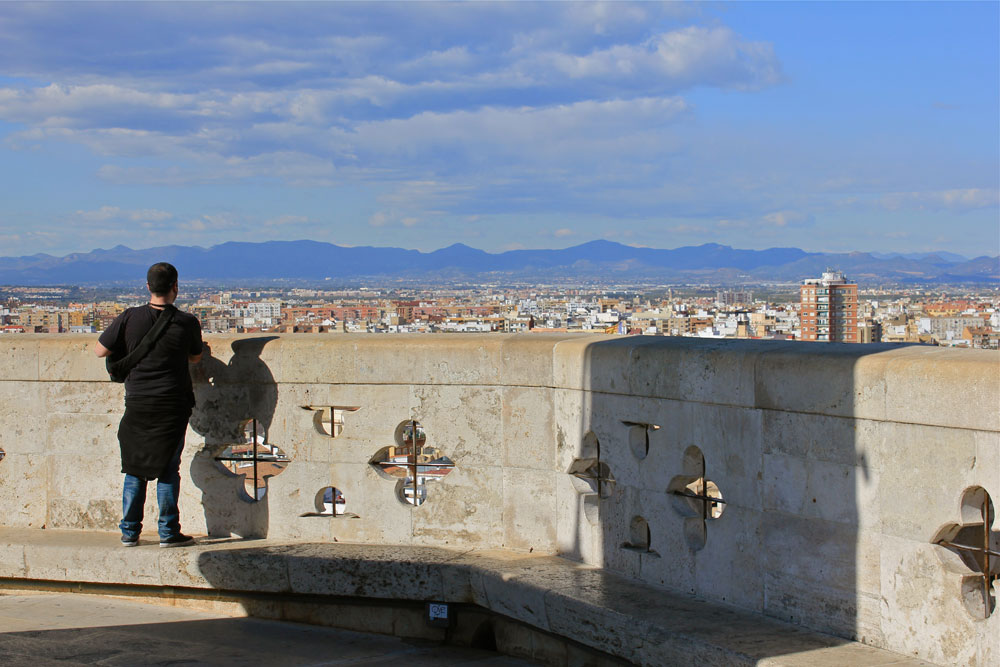
On top of the Torres de Serranos (old city gate)